Browser Extensions
Home
Categories
FAQs
How It Works
Blog
Seller Tools
Go
ReviewMeta is a metrics tool for evaluating Amazon reviews
We are in no way affiliated with or responsible for any products bought on Amazon.
We only provide an analysis of user reviews.
Our estimate is based on deep data analysis. PASS/FAIL/WARN does not necessarily prove the presence or absence of ‘fake’ reviews.
By using our site, you are agreeing to our
Terms of Service
and
Privacy Policy
. We may use cookies to provide a better experience.
Watch Me: Why is ReviewMeta.com a Must-Have for Amazon Shoppers?
Watch Me
Close
Why is ReviewMeta.com a Must-Have for Amazon Shoppers?
Free Phone Apps
Free Browser Extensions
Copy & Paste an Amazon Product Page URL
RUN REPORT
Categories
Phone Apps
Browser Extensions
FAQs
How It Works
Blog
Forum
Seller Tools
Copy & Paste a Product URL
RUN REPORT
NOAA Reviews Analysis
Top Categories:
Sports & Outdoors
,
Accessories
5.0
average rating
3
Ratings
3
Reviews
(
"Ratings" vs. "Reviews"
)
0%
of potentially unnatural reviews removed (
why?
)
2
Products Analyzed
3
Reviews Analyzed
5.0
5
average
adjusted
rating
3
Reviews
See Products
2
Products Analyzed
3
Reviews Analyzed
Products (41)
(41)
(39)
(2)
NOAA Chart 12270: Chesapeake Bay Eastern Bay and South River; Selby Bay, 35.5 X 48.4, TRADITIONAL...
Check Price
Original
:
5.0
2 Ratings
2 Reviews
Adjusted
:
5.0
2 Reviews
NGA Chart 27241WP: Little Cayman And Cayman Brac; 32 X 47; WATERPROOF
Check Price
Original
:
5.0
1 Rating
1 Review
Adjusted
:
5.0
1 Review
18441--Puget Sound - northern part
NOAA Chart 18440: Puget Sound
NOAA Chart 18471: Approaches to Admiralty Inlet Dungeness to Oak Bay, 35 X 47.1, WATERPROOF
NOAA Chart 11426: Estero Bay to Lemon Bay: including Charlotte Harbor; Continuation of Peace River,...
NOAA Chart 14852: St. Clair River;Head of St. Clair River
18440 Admiralty Inlet-Puget Sound
NOAA Chart 18523: Columbia River Harrington Point to Crims Island
1115A--Cape St. George to Mississippi Passes
NOAA Chart 12327: New York Harbor
Tidal Current Tables 2020: Pacific Coast of North American and Aisa
NGA Chart 145: Gulf of St Lawrence to Str of Juan De Fuca (Traditional Paper) 35 x 46
1210 Tr - Martha's Vineyard to Block Island
Chart No. 1
13230--Buzzards Bay - Quicks Hole
NGA Chart 523: North Pacific Ocean Northwestern Part; 35.5 X 52; TRADITIONAL PAPER
14885 Les Cheneaux Island
Small Format NOAA Chart 13270: Boston Harbor
NOAA Chart 11460: Cape Canaveral to Key West
NOAA Chart 18682: Half Moon Bay (TRADITIONAL PAPER) 22.7 x 20.9
U.S. Coast Pilot 5: Gulf of Mexico, Puerto Rico, and Virgin Islands 2019, 47th Edition
NOAA Chart 18649: Entrance to San Francisco Bay (TRADITIONAL PAPER) 35.3 x 45
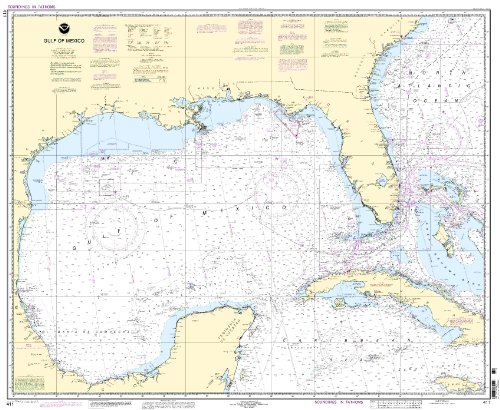
NOAA Chart 411: Gulf of Mexico
14850 Lake St. Clair
NOAA Chart 18476: Puget Sound-Hood Canal and Dabob Bay
NOAA Chart 12222: Chesapeake Bay Cape Charles to Norfolk Harbor
U.S. Coast Pilot 5: Gulf of Mexico, Puerto Rico, and Virgin Islands 2019, 47th Edition
13223--Narragansett Bay, including Newport Harbor
11502 Doboy Sound To Fernandina
1
2
>